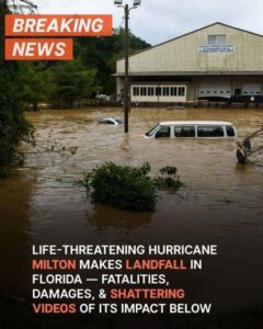
 Why Hurricane Milton brought tornadoes to Florida
By Jo Robinson, weather producer
Hurricane Milton has now weakened and cleared Florida.
It looks like the storm surge flooding wasn’t as bad as was feared – with the peak surge timing closer to low tide than high for many.
Even so, there have been flooding impacts from the storm surge and heavy rainfall, along with damaging winds.
A total of 45 tornadoes were reported yesterday, before Milton made landfall. Most of those occurred over eastern Florida.
https://news.sky.com/story/hurricane-milton-hits-florida-latest-live-updates-13230451
Tornadoes often occur within tropical cyclones (hurricanes), with the majority forming in the right front quadrant of a storm. That area typically has the best wind shear and instability, which is needed for tornadoes to form.
Tornadoes produced by tropical cyclones are usually relatively weak and short-lived, compared to ones seen from supercell thunderstorms across the Great Plains of the USA, but that doesn’t seem to be the case with the ones seen with Milton.
It highlights the point that sometimes devastating impacts can be seen before a hurricane makes landfall and away from the strongest winds/centre of the storm.
Some interesting things have been observed from Milton; birds trapped in the eye of the storm showed up on radar as there were so many of them.
And Tampa Bay saw water disappearing at one point – as the back end of the storm moved through, the strong winds were going the other way and pushed the water away from Tampa Bay.